

EcoFish™

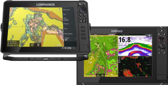
Introducing EcoFish™ a powerful new fish mapping layer powered by Echoview, the industry leader in fisheries hydroacoustic processing. With a Lowrance or Simrad depth finder, users can now generate detailed fish data including counts, depths, relative sizes, and locations alongside habitat insights.
EcoFish™ is an add-on to any EcoSound™ mapping subscription and applies to both new and eligible past .sl2/.sl3 file uploads.
EcoSound™
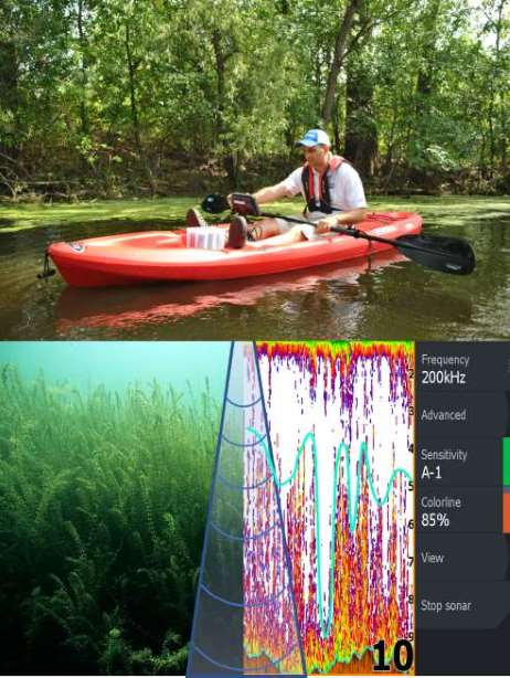
Create detailed bathymetric, aquatic, and coastal habitat maps automatically by recording sonar from low-cost, yet powerful Lowrance® or Simrad® sonar devices.
EcoSound™ automates the processing of sonar files with sophisticated algorithms. High-quality maps and spatial datasets are delivered to your secure online BioBase account within minutes.
All interactive maps, processed data, and reports are backed up and archived in an easy-to-browse dashboard.