Fisheries Habitat Mapping & Analysis
With EcoFish™, BioBase transforms your sonar recordings into fish density and habitat maps. Automatically detect fish targets, estimate populations, and visualize preferred habitats.
• Detect and count fish targets by size and depth
• Combine fish, vegetation, and substrate layers
• Export data for spatial modeling and reports
• Evaluate the impact of structures or habitat improvements
Or the Fish Sonar View
You can see all the possible individual fish (blue) and schools (yellow) with the sonar viewer.
Export Fish Data
Create Custom Maps with the Export Fish Data
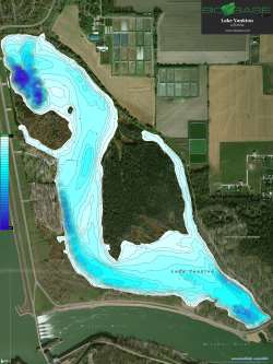
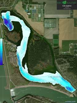
Do your own custom GIS analyses of fish by depth. In this example, only the endangered Cisco Coregonus artedi are known to inhabit deep waters in this Indiana lake. A fine example of how EcoFish™ could map and count individuals of certain species that occupy unique habitats
Passively map fish habitat while conducting fisheries surveys. Rapidly identify critical fish habitats for protection and enhancement
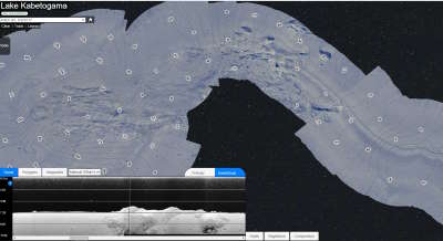
Side-scan mosaic maps will give you high resolution images of bottom and nearshore areas allowing habitat classification
Map bathymetry, generate precise water volume measurements, and simulate lowered water conditions for fisheries management
"Collection and analyses of these data with consumer-grade sonar, BioBase cloud analyses, and [GIS] present a low-cost and reduced-effort method for identifying and quantifying habitats relevant to paddlefish reproduction."
Schooley and Neely 2017 Journal of Applied Icthyology


Latest Updates & Advancements