
Aquatic Plants
It's easier than ever to establish a lake "baseline" so you can monitor changes and respond with recommendations to improve water quality over time.
See how we can help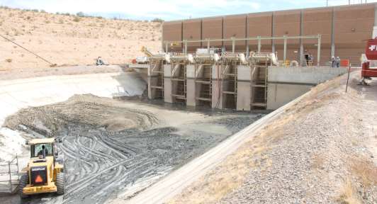
Water Resources
Rapidly create a detailed bathymetric inventory of your waterbodies at any geographic scale.
See how we can help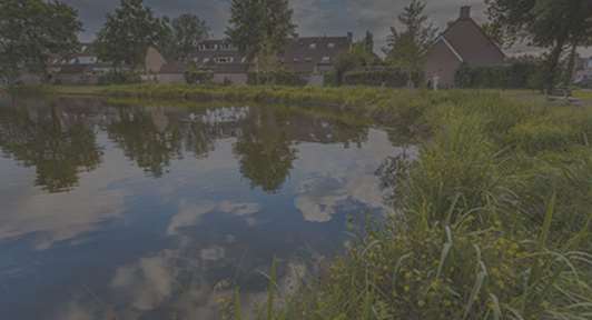
Private Ponds
Get a rapid and precise bathymetric map to generate optimum aeration, aquatic plant or fisheries management prescriptions.
See how we can help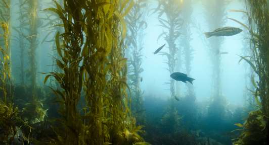
Coastal
Transform high definition satellite imagery and sonar returns of coastal wetlands, seagrass, and reef habitats into detailed maps.
See how we can help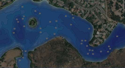
GIS Services
Let us Create customized digital or print maps for your customers or stakeholders.
See how we can help
Latest Updates & Advancements